Tri-County Traffic Safety Plan Moves Ahead
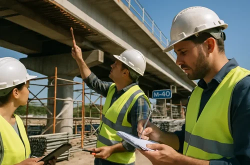
Tri-County Traffic Safety work moved from planning into follow-through after the Tri-County Regional Planning Commission adopted its Comprehensive Safety Action Plan on June 4, 2025. The plan covers Peoria, Tazewell and Woodford counties and gives local governments a shared safety framework for roads used by drivers, pedestrians, bicyclists, transit riders and freight traffic.
What Tri-County Traffic Safety Changed
The Tri-County Regional Planning Commission, known as TCRPC, developed the plan after securing $400,000 through the U.S. Department of Transportation’s Safe Streets and Roads for All program, with a $100,000 local match. TCRPC says roadways in the three-county region had 211 fatalities and more than 2,000 serious injuries between 2017 and 2022, figures that shaped the need for a regional safety plan, according to the TCRPC safety page.
Plan Adoption And Funding
The June 4, 2025 adoption by the Full Commission gave local jurisdictions a common document to reference when applying for future safety money. That matters because many road safety improvements cross municipal boundaries or involve roadways managed by more than one public agency. A county route, city street and state highway can all be part of the same daily commute, which makes regional coordination more practical than each local unit acting alone.
The plan does not mean every project is funded now. It sets priorities, documents crash trends and prepares the region for grant requests. That distinction is useful for residents: adoption was a policy step, not a construction start date for every corridor identified in the plan.
Tri-County Traffic Safety Data Points
The Tri-County Traffic Safety record cited by TCRPC shows why the plan is being treated as a public infrastructure issue, not only an enforcement topic. Fatal and serious injury crashes carry costs for families, employers, emergency responders, schools and local budgets. A severe crash can close a corridor, trigger medical response, damage public property and expose design problems that may not be obvious during routine travel.
The plan also calls for identifying crash trends and High-Injury Corridors. In practical terms, that can help agencies decide where to review intersections, crossing distances, turn patterns, speeds, signal timing, lighting, bike connections, sidewalk gaps or road geometry. The plan’s safety toolkit gives local governments a menu of proven countermeasures, rather than leaving each jurisdiction to start from scratch.
How Residents Helped Shape The Plan
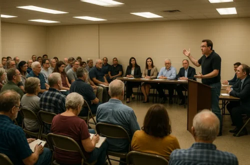
Public input was part of the plan development process before the commission vote. WCBU reported that more than 400 people responded to an online survey that was open from June through August 2024, with residents identifying concerns such as unsafe intersections, missing sidewalks and bike safety. The same report said the plan can help jurisdictions pursue Safe Streets and Roads for All implementation grants after the planning phase, according to the WCBU report.
Survey Input And Local Experience
Crash records show where severe outcomes occurred, but public comments can point to places where residents feel exposed before a crash happens. A parent may know that a crossing near a school is difficult at dismissal. A bicyclist may know that a painted lane disappears before a high-speed intersection. A transit rider may know that a stop lacks a safe walking connection. Those observations do not replace engineering review, but they can help agencies ask better questions about daily conditions.
That local experience is especially relevant in older neighborhoods where sidewalks, curb ramps, lane widths and street lighting may reflect decisions made decades ago. It also matters in growing areas where traffic patterns may have changed faster than the public right-of-way. The plan’s value will depend in part on whether agencies keep public input connected to project selection.
Why Public Comments Matter For Local Projects
Residents often see safety plans as technical documents, but public comments can influence whether a project is built in a way people will use. For example, a crossing improvement is more effective if it matches the route people already take to reach a bus stop, school, workplace or grocery store. A sidewalk project is more useful if it connects to existing paths rather than ending at a barrier.
Public engagement also gives elected boards and councils a clearer record when they consider grant matches, maintenance commitments or construction impacts. If a city or county later seeks implementation funds, documented public support and documented safety concerns can help explain why a location ranks high.
What Local Agencies Can Do With The Plan
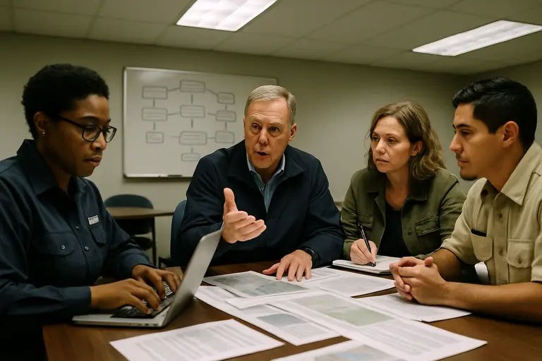
The adopted plan gives Peoria, Tazewell and Woodford county communities a shared base for decisions, but local action will still depend on ownership, engineering capacity, grant timing and available matching funds. Some fixes can be lower-cost, such as signage, pavement markings or signal timing changes. Other improvements, such as intersection reconstruction, sidewalk networks or corridor redesigns, can take years to design and fund.
High-Injury Corridors And Practical Fixes
High-Injury Corridors are useful because they direct attention to places where severe crashes are concentrated. The designation does not, by itself, identify a single cause. A corridor may have speeding, limited crossings, complex driveways, poor nighttime visibility or a mix of road users traveling at very different speeds. Local agencies still need site reviews, engineering judgment and community input before selecting a fix.
A prior local report on the traffic safety program in Tri-County described the Vision Zero goal that frames this work. The planning commission’s approach treats fatal and serious injury crashes as preventable outcomes that can be reduced through street design, operations, education, enforcement partnerships and post-crash review.
Grant Readiness For Cities And Counties
For local governments, one benefit of the plan is readiness. Federal transportation grants often ask applicants to show crash data, public engagement, safety priorities and a connection to an adopted plan. A city or county that can point to a regional safety plan may be better positioned than one trying to assemble those pieces after a grant notice is released.
Business districts also have a stake in safer corridors. Employees, customers, delivery drivers and visitors all depend on predictable access. Readers interested in related community commerce updates can find more information through the Richland Chamber.
- Residents can watch city council, county board and transportation committee agendas for project applications tied to the safety plan.
- Local agencies can use the plan to support requests for design work, safety audits or construction grants.
- Community groups can continue submitting location-specific concerns when agencies open comment periods.
Tri-County Traffic Safety Next Steps
As of Aug. 20, 2026, the key civic question is how the adopted plan is being turned into projects, grant applications and performance tracking. The commission’s 2025 action created the regional framework, but residents will see results through later decisions by city councils, county boards, transportation committees and state or federal funding programs.
Tracking Progress After Adoption
For Tri-County Traffic Safety, progress should be measured with clear public markers: which corridors are being studied, which applications have been filed, which grants have been awarded, and which improvements have moved into design or construction. Residents should also be able to see whether severe crash trends change over time. That requires regular reporting, not just a one-time plan document.
Local governments can help by placing safety plan items plainly on agendas and explaining whether an action is for planning, design, grant matching or construction. Clear wording helps residents know when a decision affects future eligibility and when it authorizes physical work on a road.
What Residents Can Watch At Public Meetings
Residents in Peoria, Tazewell and Woodford counties can watch for references to High-Injury Corridors, Safe Streets and Roads for All applications, capital improvement plans, sidewalk programs, signal upgrades and road resurfacing projects that include safety changes. Routine road work can sometimes be a chance to add safer crossings or adjust lane markings if agencies plan early enough.
The next phase is less visible than adoption, but it is the phase that determines whether the plan affects daily travel. The most useful public record will show how data, resident input and funding choices are connected corridor by corridor.